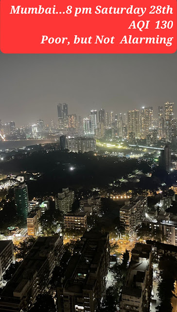
Photo credit Aditya Desai
Weather forecast from Saturday 28th to Tuesday 31st October:
Mumbai:
*Hot daytime weather 😓to continue due to easterly winds, with max temperature around 36C. *Nights/early mornings will be slightly pleasant around 21/22C.
*The nip may be short lived.Sunday onwards could rise to around 24-25C.
Interior Konkan/Thane district will see cooler nights/early mornings by around 2-4C compared to Mumbai (more cooler towards Ghats).
Pune:
*Warm days with max temperature around 32-33C.
*Nights will be pleasant around 14/15C.
*Outskirts can be cooler to around 13-14C. Some rise in night temperature is possible from Sunday.
Coolest regions in Maharashtra (apart from Deccan plateau in Pune/Nashik) will be parts of Jalgaon, Ahmednagar, Ch. Sambhajinagar and Buldhana districts, with minimum temperatures around 13C.
There is a chance of some clouding and light rain/thundershowers in parts of Kolhapur/Sindhudurg districts and Goa region on Tuesday 31st October. ( Reason for this explained below)
After the fizxling out of the twin cyclones Tej and Hamoon on either side of the Indian mainland, the northeast monsoon, now looks set to become active over Southern India.
Tamil Nadu and Kerala for the next four days (Oct 28-31) can expect thundershowers. These conditions are also likely to spill over to Coastal and South Interior Karnataka on Sunday and Monday (Oct 29-30).
Interior regions of south peninsula (Bangalore/Mysore/Karnataka Ghats, interior Tamil Nadu and Kerala) can see thundershowers. Coastal Tamil Nadu to start getting some showers as easterlies of NEM strengthen.
Gujarat: Overall hot weather during the day and slightly pleasant nights. Not much winter chill is expected anytime soon. Most areas (Ahmedabad, Vadodara, Surat, Bharuch) will see max temperatures of around 36C and min temperatures of around 20C. Rajkot region and Kutch can be hotter around 37-38C.


No comments:
Post a Comment