Weather Forecast from 29th January till 1st February - new WD bringing rain/snow to northern states and UTs
Mumbai - Westerly winds will strengthen on 29th after a warm morning/noon, partly cloudy weather for Mumbai MMR belt - some chance of drizzles, pleasant breeze from evening. Temperature will drop on 30th due to cold winds, max around 28°C, min on 31st can be around 16°C.
However, change in wind pattern from 31st Jan, with easterly winds expected to raise daytime temperature above 30°C. Days getting warmer on 31st Jan around 30°C, but rising further on 1st Feb with max around 33-34°C, and min around 18-20°C, dry weather.
Interior konkan/Thane district can be cooler than Mumbai during night/early morning.
Pune - Warmer than Mumbai during daytime on 29th and 30th (max around 31-32°C), but max dropping from 31st to around 29-30°C and min around 10-11°C. Outskirts/rural areas in the district may see single digit minimum from 1st February.
Nashik, Ahmednagar and Jalgaon - Nights getting cold from 31st January, min around 9-10°C. Rural areas in Nashik/Jalgaon could see min dropping to 8-9°C by 1st/2nd February.
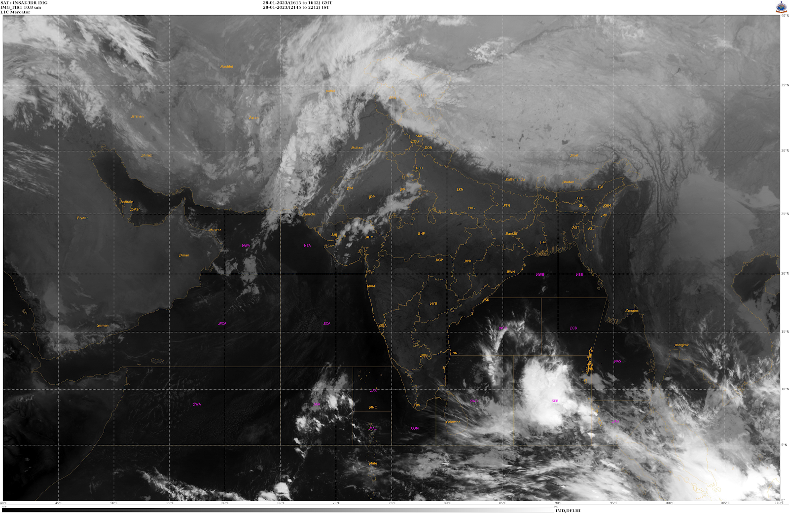
Next Western Disturbance J-4 has started affecting northern states.
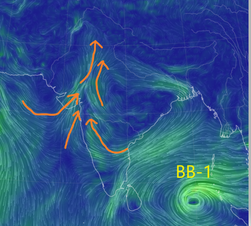
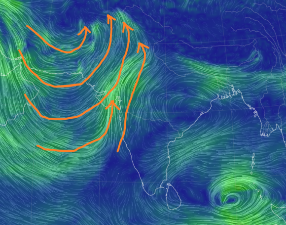
Southward dip on J-4 causing string moisture inflow from Arabian Sea, with Gujarat seeing thunderstorms as mentioned earlier.
850 hPa winds


No comments:
Post a Comment